
Roseburg Neighbors Around One Block
Records around a Roseburg address work by parcel, not by a hidden household map. The GIS map establishes where a selected tax lot sits. The Assessor supplies current assessed-owner and property fields for a parcel. A recorded plat or deed can explain lot lines and the ownership trail. Elections records have their own formal route and limits. City community resources can identify public organizations by area, but the research found no City-run neighborhood-association directory or public membership list.
Read each result for the question it can answer. An adjoining parcel is a land relationship. It may not be a practical neighbor relationship if a road, water, common area, large tract, or easement separates the properties.
| Source | What It Shows About a Block | Access |
|---|---|---|
| Douglas County GIS parcel map | Tax-lot adjacency, roads, districts, zoning, flood, and map context. | Public mapping tools; selected parcels must be reviewed individually. |
| Douglas County Assessor | Assessed owner, situs and mailing fields, parcel identifiers, values, and legal-description clues. | Public Property Search or Assessor office; it is current assessment data, not an occupancy list. |
| Recorded plats and deeds | Lot, block, subdivision, easement, and ownership chronology. | Clerk inquiry, Archive, or copies; recorded land evidence is not a social roster. |
| Election maps and voter-file law | Precinct or district geography and specified public voter-file fields. | County Elections or SOS formal request; no open block roster is documented. |
| City community resources | Public clubs, programs, and participation leads by general area. | City guides and notices; no verified membership directory. |
Note: A public owner field can support a parcel connection, but it cannot identify all current occupants or private service users.
Map Roseburg Neighboring Parcels
The Douglas County GIS Map provides the repeatable block method. Find Address accepts an address or part of an address. Find Parcel accepts a name, property ID, map tax lot, or address. Identify selects one or a series of map features and opens the selected information in the map panel. Use those tools to work from a known parcel outward, without claiming that the system generates a radius-based list of neighbors.
- Find the target Roseburg address or parcel, then confirm it with the map tax lot or property ID.
- Use Identify on the target and pan to tax lots sharing a boundary or nearby frontage.
- Identify each selected tax lot and record its property ID, map context, and any legal-description clue.
- Enter each property ID in Douglas County Property Search to review the assessed-owner, situs, and mailing fields.
- When the question becomes a full street-by-street record trail, use the Roseburg street directory rather than extending a small block search beyond its evidence.
The output is best described as adjacent taxable parcel records. The map's broader layers can be approximate in some themes, so a title or boundary question belongs with the recorded plat, survey, or qualified professional.
Roseburg Neighbors and Parcel Fields
Property Search supports a combined address, tax-lot, or property-identifier query. A selected public detail page may show the property address, current owner, owner mailing address, legal description, alternate account number, neighborhood, map number, property use, levy code, districts, values, land segments, and related properties. The owner mailing field may be a post-office box or a different city. It is a correspondence field, not proof that the owner receives mail or lives at the physical parcel.
| Situs | The physical property location in the assessment record. |
|---|---|
| Mailing address | Where the roll sends correspondence for the owner field; it can differ from situs. |
| Property ID | A county retrieval key that can move a selected GIS parcel into Property Search. |
| Map tax lot | A map reference for locating property, not a complete recorded legal description. |
| Legal description | The land identity used to match plats and deed records across time. |
Owners can be co-owners, businesses, or trusts. Current values are assessment figures rather than proof of a sale amount. Checking the original recorded document is the appropriate next step when the relationship between a person and parcel needs confirmation.
Roseburg Blocks Through GIS Layers
Douglas County GIS provides more than parcel outlines. Its Layer List includes Assessor, Surveyor, Recreation, Elections, Sanitary, Planning, and related themes. The base map carries roads, rivers, and highways. Surveyor layers add subdivision, road-survey, PLSS-grid, control, and corner-renewal context. Planning layers can clarify zoning, floodplain, housepoint, or driveway context. The City Bookmarks tool moves the map to Roseburg and other county cities.
Election layers help explain precinct or district geography. They do not display an elector roster. The Measure and markup tools can help orient a block, but they do not establish ownership, occupancy, or a legal boundary. For a selected land record, follow the property ID back to the Assessor and use recorded documents for legal conclusions.
Note: The documented public tools are Find Address, Find Parcel, Identify, layers, and measurement, not a GIS result that lists every person within a radius.
Roseburg Blocks and Legal Lines
Plats, subdivisions, surveys, and recorded deeds explain the legal geography behind a block. A lot and block, subdivision, partition parcel, metes-and-bounds description, or prior instrument reference can connect records where a street label changes or a parcel is unusually shaped. Douglas County says an assessor account, map number, or tax lot alone is not an acceptable recorded legal description. Use it to locate the land, then retain the complete legal description when moving to Clerk records.
The Clerk Recording Inquiry has documented older direct and indirect indexes for 1990 and older, with no images in that path. Later index and image access can follow a subscription route, while the County Archive holds deeds from 1853 to the present and asks researchers to call before visiting. The Archive accepts call-ahead visits, written requests with payment, and phone orders. This is a land-record channel, not evidence that every nearby property is a lived-in home.
Roseburg Voter Records Near Blocks
Oregon My Vote is a secure self-service service for an elector to check, view, or update that elector's registration and ballot information. It does not offer an open last-name or address search. For a lawful public-file question, the route is a formal request to Oregon Secretary of State or Douglas County Elections, with geography and format limited by what the agencies can provide. A requested voter file can corroborate a permitted address or precinct field. It cannot establish every person connected with a parcel.
Oregon's voter-file statutes set the public fields, exclusions, and use limits that apply to this type of request.
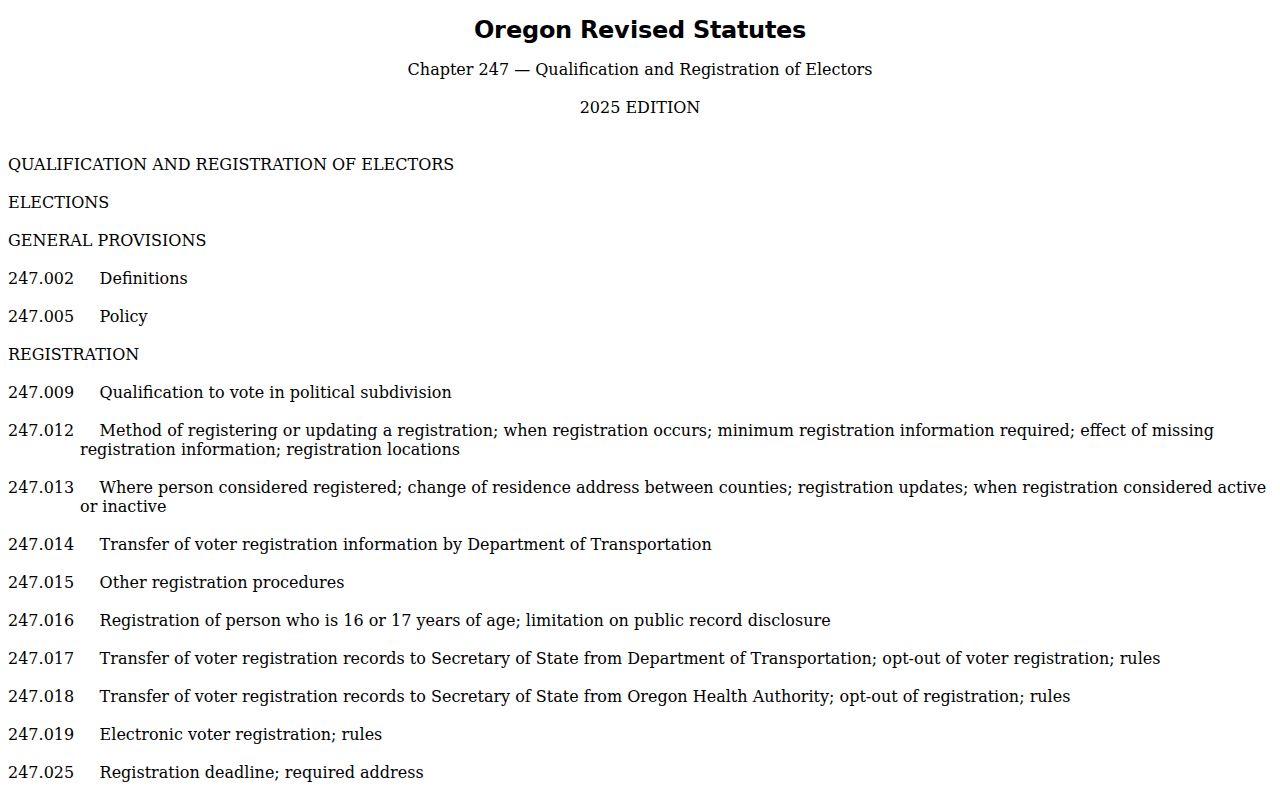
ORS 247.948 permits specified public fields, subject to protections, including party affiliation, residence or ballot-mailing address where not protected, birth year, precinct information, telephone number, voting-history indicator, and election-period ballot status. It excludes ballot choices, full date of birth, Social Security number, driver-license number, and copied signatures. ACP participants and other protected voters remain excluded. ORS 247.955 limits commercial use of elector-list information.
The SOS delivers electronic lists through SFTP and allows ten business days. Less-than-statewide hardcopy, label, or other non-electronic requests go to County Elections. My Vote remains the proper portal for an elector's own record, while current precinct maps help understand civic geography without exposing personal data.
Roseburg Community Resource Contacts
Roseburg research found public community resources, not a neighborhood-association membership directory. The City Recreation Guide lists public clubs and organizations such as the Umpqua Gem & Mineral Club, Umpqua Valley Geocachers Association, Umpqua Valley Audubon Society, Native Plant Society Umpqua Valley Chapter, and garden groups. They are participation leads, not current-address sources. Historical organizations can help with past structures, publications, and family-history research, but they should not be treated as sources for living household lists.
| Roseburg resource | Contact or access route | Appropriate use |
|---|---|---|
| City Recreation Guide | Public City guide | Find public programs and participation contacts, not member information. |
| Genealogical Society of Douglas County | GSDC, 541-440-6178, courthouse Room 105B | Historical directories, deed, marriage, probate, and name-variant research. |
| Douglas County Historical Society | Historical Society, 541-672-4386 | Local-history publications, structures, and curator contact. |
| Roseburg Public Library | library@cityofroseburg.org, 541-492-7051 | Confirm current local-history holdings and database access before visiting. |
| Douglas County Clerk Archive | Call-ahead Archive route | Historic deeds, maps, election material, probate, and other documented county series. |
The County Archive and State Archives inventory are especially useful when a block question becomes historical. Request a narrow record type, person, date range, and known parcel or book reference, then let staff confirm whether the material is held and available.
Roseburg Neighborhood Geography
Charter Oaks is a Roseburg example of why mailing geography, city limits, and planning boundaries should not be treated as interchangeable. The City's 2024 urban-growth-boundary action describes property partly in or out of the City and UGB, a 220-acre addition, and a related deannexation process. A parcel on a Roseburg delivery route can therefore have City, County, special-district, planning, and postal descriptions that do not align.
A 2016 City newsletter described Ward 1 as northeast, Ward 2 as northwest through Hucrest, Ward 3 as west Roseburg, and Ward 4 as southeast and downtown. That is historical descriptive context, not a current-election-boundary claim. Use the GIS Elections layer and current County precinct information for current civic boundaries. This local geography helps explain a parcel record without turning an area name into a list of neighbors.
Roseburg Neighbors: Official Records
Official custodians and private commercial listings answer different questions. For a parcel, the county can identify what its current assessment or map record shows and can point to a recorded deed or plat. A private compilation may repeat material without preserving the original record date, field limits, or custodian. Use an official record as the check point, especially when an address or owner field matters.
| Question | Official Roseburg route | Commercial listing boundary |
|---|---|---|
| Which parcel is beside this address? | GIS Find Address, Identify, and Assessor property ID. | Proximity labels do not establish a parcel boundary. |
| Who is the assessed owner? | County Property Search and, where needed, the recorded document. | A copied owner field may omit its date or underlying source. |
| What is the civic geography? | GIS district layers and County Elections maps. | Area labels do not prove an elector association. |
| How does a past address fit? | Archive, recorded documents, historic maps, and dated collections. | Unverified summaries do not replace a custodian record. |
For a public-record correction, contact the Assessor or record custodian with the document, date, and field to review. A records request can seek an existing nonexempt record, but it does not require a City or County office to create a new extract or delete a lawfully public historical record.
Roseburg Neighbor Privacy Limits
Parcel ownership, mailing, and map information leave out many personal details. The GIS map does not disclose utility customers or DMV addresses. The Assessor does not provide a complete list of current occupants. Oregon voter records also carry field-by-field exclusions, and voter registrations were purged before 1993 in the County Archive. Protected information is not a missing lead to work around.
Oregon's Address Confidentiality Program offers a free substitute-address and mail-forwarding service for qualifying survivors and certain covered health-care providers. A participant works with a certified application assistant, and a substitute address can be used for specified mail and government transactions. The program cannot erase information already public, but it protects the program address subject to its rules. Voter residence protections can also apply when personal-safety danger is established.
Oregon Department of Justice's Address Confidentiality Program describes its eligibility and substitute-address process.
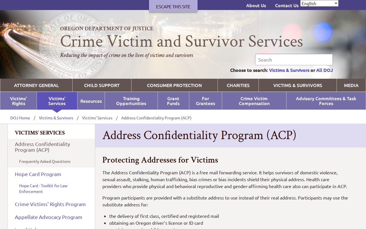
ACP and voter protections are legal boundaries that a neighbor lookup must respect. Verify a public record with its custodian, and do not infer a current address from a protected, historic, or incomplete result.
Lawful use. Roseburg block records support lawful personal research and civic understanding. Do not use any record to stalk, harass, threaten, or harm another person.