
Roseburg Previous Resident Sources
Ownership, occupancy, and building history each use a different source. The Douglas County Assessor supplies the current parcel entry and its legal context. Clerk records then connect named parties to a recorded land description. Directory and census material can supply dated household clues, while maps describe a building or block without naming its residents. Use the era table as a route map, not as a claim that every collection is indexed online or that an address appears in each one.
| Source | Years it covers | Where held | What it shows |
|---|---|---|---|
| Deed records and County Archive | 1853-present | Douglas County Clerk and Archive | Ownership and legal-description backbone. |
| Direct and indirect deed indexes | 1852-1941 FamilySearch images; 1855-1966 physical indexes; Clerk web route for 1990 and older | State Archives inventory and Clerk gateway | Grantor/grantee links and document identifiers, not a dependable address index. |
| Deed books | 1853-1921 FamilySearch images; 1855-1965 local books or microfilm | State Archives inventory | Recorded conveyance detail and legal descriptions. |
| Roseburg city directories | 1909-10, 1921-22, 1938, 1946, 1948, 1950, 1954-55 | Years documented by NPS and City historic sources | Address, household, occupation, or business leads when a volume is available. |
| Federal census microfilm | 1850, 1860, 1870, 1880, 1900, 1910 | Clerk archival storage in the State Archives inventory | Household and occupation snapshots. |
| Sanborn maps | Local microfilm ca. 1888-ca. 1930; cited editions include 1884, 1886, 1895, 1912, and 1920 | Clerk archival reel and historic bibliographies | Building footprint, use, and street context, not a resident roster. |
Begin with the current parcel for a recent ownership question. Begin with a documented directory year or local census roll when the question is about past residents. Probate can add estate and heir clues where the record is public, but it should not be used to guess relationships from a matching surname.
Roseburg Previous Owner Chain
The best backward route is a party-and-land chain, not a street-name search. Use the public Assessor result to capture the current owner field, property ID, map or tax lot, and legal description. Find the current owner as grantee in the Clerk’s Recording Inquiry, identify the seller, and then search that seller as grantee for the earlier acquisition. The description must stay consistent across the chain. A street number may change or be missing, but a recorded land description is designed to identify the land.
- Open Douglas County Property Search with the physical address, property ID, or tax lot. Confirm the selected parcel by situs, map number, and legal description.
- Use the Clerk Recording Inquiry to search the current owner as grantee. Record the grantor, grantee, date, document type, instrument or book/page reference, and legal description.
- Search that prior grantor as grantee to find the earlier purchase. Compare the legal description before treating it as the same parcel.
- For older material, use the direct/indirect index pathway, archive holdings, microfilm, or FamilySearch images. The older Clerk route has no images, so an identifier may lead to a copy or archival record.
- Stop at a source document when the ownership sequence matters. A title question may need a recorded copy or qualified professional review.
- Grantor / grantee
- The grantor transfers an interest in a recorded document; the grantee receives it.
- Chain of title
- The linked sequence of recorded transfers for the same land, read from one owner to the earlier owner.
- Legal description
- The recorded land identity, such as lot and block, metes and bounds, partition parcel, or prior instrument reference. A tax lot or account number alone is not a recordable legal description.
The Clerk’s Recording Division accepts in-person and mail documents, while research/copy access includes the online gateway, Room 124, mail or phone copy orders, and the Archive’s separate historical-service channels. The Archive asks researchers to call ahead, permits visits after contact, accepts written requests with check or money order, and takes phone orders by card. These access choices matter when a Roseburg deed chain crosses the web-era boundary.
Roseburg Deed Index Eras
The Douglas deed trail has overlapping media, not one clean digital cutoff. Clerk information describes direct and indirect property indexes under “Deed Indexes 1990 and Older,” with no images in that older path. Subscription access covers index and images from 1992 through yesterday, while document images are described as available by instrument number back to 1965. The County Archive says deeds run from 1853 to the present. These statements refer to different tools and holdings, not a promise that every year is free online.
The State Archives inventory makes the earlier routes more specific: physical direct and indirect indexes run 1855-1966; free-registration FamilySearch images cover deed indexes 1852-1941 and deed records 1853-1921. Ask the Archive or Clerk for the access route appropriate to the date and reference. The Archive’s collection page is the right non-web fallback when the party index produces a book, page, or instrument number but no viewable image.
The Oregon State Archives Douglas County inventory identifies the historic deed, probate, census, map, and repository routes.
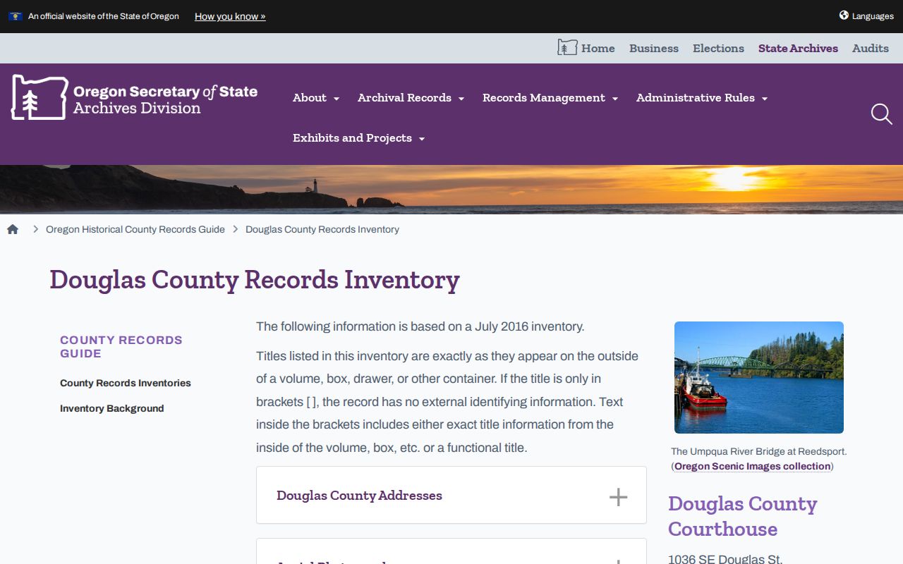
The inventory is a finding aid for a Roseburg address trail, not a substitute for the underlying index, film, or recorded document.
Note: Copy and research fees depend on the office and delivery method, so confirm the current charge before requesting a historic record.
Roseburg Past Household Dates
Past residents require a dated household layer after the deed work. The documented Roseburg city-directory years are 1909-10, 1921-22, 1938, 1946, 1948, 1950, and 1954-55. The bibliography proves those publications existed; it does not prove that every local repository holds each volume or that each edition includes a street section. Ask a repository to inspect the actual volume and its abbreviation key before treating a letter or notation as an owner or household marker.
For each usable volume, transcribe the name exactly as printed, including initial form, spouse notation if shown, occupation, address, business address, telephone, and cross-reference. A street or criss-cross section can add a number and occupant or business, but must be inspected before it is described. The Roseburg Directory Book identifies the collections and repositories; use that collection research to locate a volume before building an address timeline.
- Put the directory year, printed name form, address, occupation, and source page into a timeline.
- Choose the closest available local federal census microfilm year and record the household and occupation snapshot without assuming the directory date and census date are identical.
- Check the digitized News-Review collection for an obituary, notice, or business address tied to that date, then verify it with a custodian record where possible.
- When a death or estate appears, move to public probate indexes, court files, or the Archive. A deed transfer proves a transfer, not the seller’s next address.
Roseburg Parcel Address Clues
The Assessor detail separates the property’s situs from the owner mailing address. Situs is where the land or building sits. The mailing field is where the assessment roll sends correspondence and may be a post-office box or another city. Neither field establishes every past or present household member. The record also displays such useful bridge fields as legal description, alternate account number, neighborhood, map number, property use, values, districts, and related properties.
| Property Search input | Documented format or use |
|---|---|
| Universal Search | Enter any combination of physical address, tax lot ID, or property identifier. |
| Account / property ID | Include the alphabetic prefix, such as an R-prefixed account number. |
| Tax lot | Use township-range-section form separated by dashes. |
| Physical address | Use number and street name; fewer words can work when a complete address fails. |
| Vacant-land number | An asterisk can stand in for the number when using a street-name query. |
A public parcel card can confirm what the assessment system displays while also showing why mailing and situs should not be merged. The property ID or map tax lot helps find the right parcel, but the Clerk requires a fuller recorded legal description for land documents. Carry that description forward to the deed index instead of assuming that a shared street number identifies the same parcel across time.
This Douglas County public parcel example displays the mailing-versus-situs distinction used in a Roseburg previous residents search.
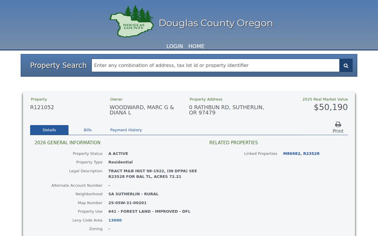
Compare the selected parcel with the original recorded source rather than treating a current mailing field as a residence history.
Roseburg Address Continuity Traps
Old records can use a legal description, subdivision, Donation Land Claim context, or a postal label that does not match a modern search. No verified source found a citywide Roseburg street-renumbering year, so none should be assumed. The documented continuity traps are different: a tax lot is not a recordable legal description, city and postal geography can diverge, and the 97471 delivery area was established in 2008 from 12,730 deliveries that previously used 97470.
This local geography detail prevents a common false move conclusion. An older 97470 address can concern land whose current mailing ZIP is 97471. Verify the physical address through USPS, use Assessor or GIS for parcel and jurisdiction context, and compare the recorded legal description with historic map evidence. A ZIP difference by itself does not show that a past resident moved.
Roseburg Building History Context
Sanborn maps and survey material date the building and its surroundings, not the people inside. The State Archives inventory lists local Sanborn microfilm around 1888 through 1930, while historic sources cite individual Roseburg editions from 1884, 1886, 1895, 1912, and 1920. Cite the edition actually consulted. A building footprint or commercial use can explain a confusing address, but it cannot prove residence.
Downtown sources also require a built-environment check. The City’s history of the August 7, 1959 Roseburg Blast says 13 people were killed and more than 125 were injured. Historic maps or directory references can therefore point to a block that was later altered or rebuilt. The event does not establish any loss of deed or court records, and no courthouse-record loss should be inferred from it. For later planning, permit, or code context, use a detailed City Recorder public-records request because no official open Roseburg permit search was verified.
Roseburg Historical Index Leads
When a deed or directory trail reaches a family event, use the appropriate historic channel. The Oregon Historical Records Index is a limited dataset, not a universal Roseburg birth search. Its coverage includes six Douglas birth entries dated 1906 and 3,445 delayed-birth entries dated 1856-1919. For broader historic work, the County Archive holds marriages from 1853, probate cases through 1982, naturalizations, and other county series; State Archives inventory adds the physical locations and FamilySearch versions for specific runs.
GSDC’s courthouse volunteer library, the Historical Society, County Archive, and State Archives are distinct research contacts. Supply the current address, earlier address forms if known, Assessor account or map tax lot, legal description, approximate construction period, and names already documented in the chain. No official Roseburg house-history guide was located, so a tailored request is more accurate than assuming a prepared research program exists.
Oregon Historical Records Index information describes its limited historical-index coverage and the kinds of entries it contains.
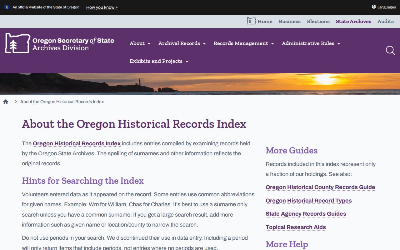
An index entry can direct the next archive request, but it does not replace a record or establish a person’s address.
Roseburg Past Household Boundaries
Past residents and past owners are not identical categories. A deed records named parties and land. A directory can place a household or business at an address in a particular edition. A census records a household at the enumeration date. An obituary can point toward probate, where public filings may name a personal representative or heirs. Each source should retain its date, keeper, and limit in the finished house history.
Records do not fill every gap. Utility customers, delivery recipients, DMV information, protected voters, and all household members are not a public address trail. If a City or County file is needed, send a narrow written request under the Oregon Public Records Law to the actual custodian, identify the record and date range, and expect a review for exemptions or a fee estimate. A custodian can provide existing nonexempt records, not create an address history that it does not keep.
Lawful use. Use Roseburg previous resident research for house history, family history, estate research, and personal curiosity. Do not use information to stalk, harass, threaten, or track a living person.